Your Go-To-Ressource: The GeoVisual Geodata Collection
Discover the most comprehensive collection of freely available geodata for Germany/Austria/Switzerland.
Your benefits in a nutshell:
- Optimized for civil engineers and infrastructure planning
- accelerated and simplyfied processes
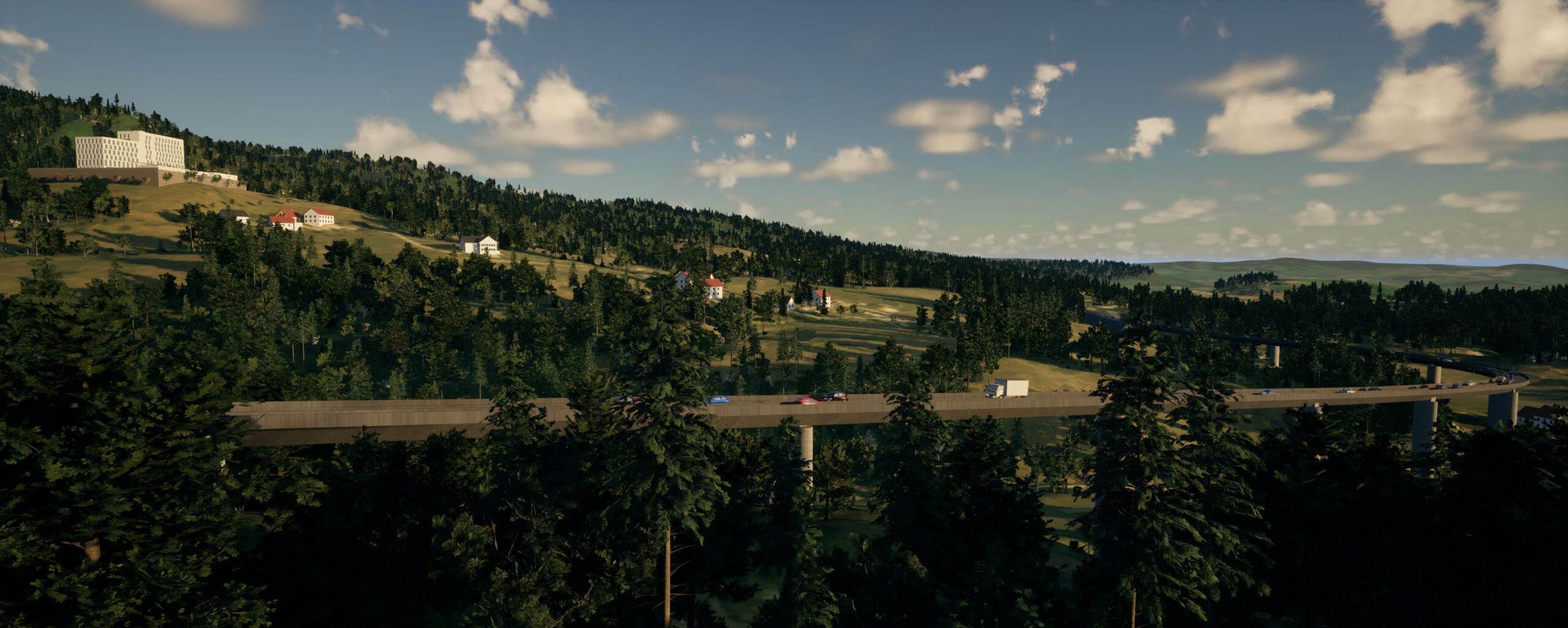
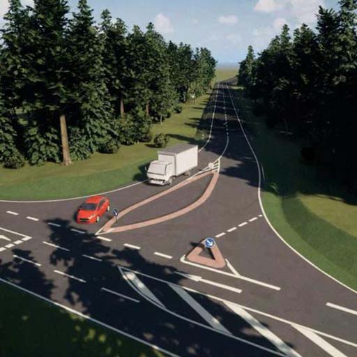
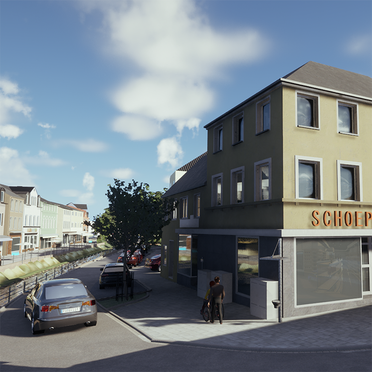
- Impressive 3D visualization with just a few clicks
- Direct CAD integration
- IFC support
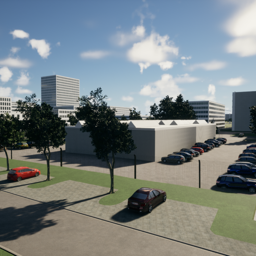
- You are planning from scratch extending or are adapting your premises to your needs -
- Applicable at every step thoughout your planning process
- Visualize your subsoil infrastructure
- One source of truth compares and incorporates hundreds of files
- Instantly creates digital twin
- Suitable even for smaller cities and projects
- Simplyfies the decision making process internal/external
- You are in full controll of your data
- Automatically integrates geo- and gis data
- Simplyfies your client communication
- Extremely easy to learn and use
- Partially automated 3D-ifying of 2D CAD files
- Direct CAD integration
- IFC support