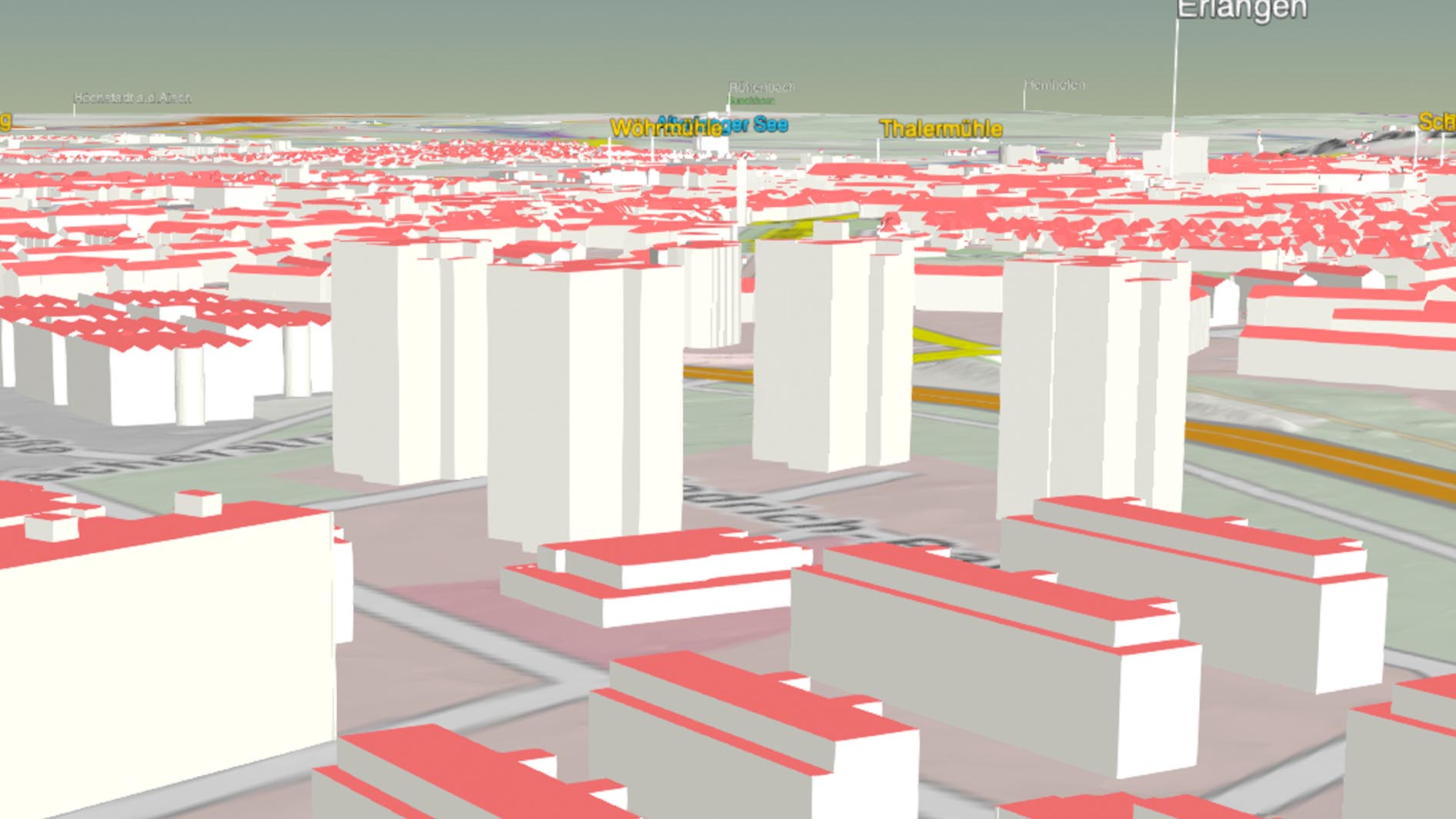
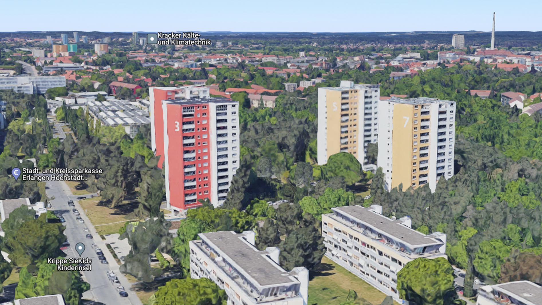
What is a digital twin?

Initially that sounds like an easy question, but the answer is actually multifaceted. Generally speaking a digital twin is a virtual image or representation of a real life object. The term can be applied to multiple fields of application though. There are digital twins of objects and people but also of processes or systems.

What makes GeoVisual Interactive so special?

GeoVisual Interactive primarily focusses on infrastructure planning and creates digital twins for cities and municipalities. Easily build, expand and maintain your digital twin with our Software GeoVisual. Our comprehensive visualization brings your plannings to life. Ideas can be communicated more clearly. A lively visualization also simplyfies the decision making process so your plans can become reality.

What is the current state of technology?

People have tried to define a standard for digital twins for a long time now. But it's still unclear which parts are relevant when talking about a digital twin. Digital twins can be displayed in a variety of ways. Some solutions are simple and abstract and are primarily used online. Others use (almost) photorealistic point-cloud-photogrammetry models similar to Google Maps.

abstract online solution

point-cloud-photogrammetry-model

GeoVisual Software

Why should you use a digital twin?

You can only evaluate your plans correctly if you do it in context. The existing development here is as important as embedding the plan into the surroundings. Creating a digital twin of the natural environment is therefore your first step.

How is the digital twin created with GeoVisual?

GeoVisual uses standardized geospatial base data, algorithms and image processing to create an initial 3D city model. The integration process of all information is almost completely automated. Include additional data at any time for a more detailed view. These can, for example, be taken from the municipality's geoinformation system via a corresponding interface.

Where can you find the respective geodata?

We've compiled an extensive collection of freely available geodata for Germany, Austria and Switzerland just for you. Use our GeoVisual Geodata Collection as your go-to-ressource.

GeoVisual GeoData Collection

Which technique does the GeoVisual Software apply?

GeoVisual creates a parametric or semantic digital twin, a virtual 3D image of reality. All content depicted are known and independent objects. The data is updated via GIS interfaces (Geo Information System).

In the future, a real-time connection to other systems and sensors will also be possible. This approach requires a lot of computing power and is therefore available as an on-premise solution at the moment. This means you have full control over your visualizations because everything happens in your on-site system,

What are the advantages of the GeoVisual Software?

GeoVisual creates a flexible 3D image for you that is almost completely automated and precisely georeferenced, based on freely available geodata.

  • You can extend, change and expand your digital twin as you wish.

  • Import your plans and other data from your GIS (Geoinformation System) at any time.

  • Compare different plans and planning stages in no time.

  • Sketch new ideas directly within your visualization.

  • Sit back and relax because the visualization of your plans in GeoVisual creates an easy-to-understand basis for decision-making for everyone involved. Faster decisions speed up your projects, save time, money and prevent stress.

How do I create my first GeoVisual Digital Twin?

You only need the following data to visualize your suuroundings:

  • Digital Elevation Model (DEM)
  • Digital Orthophoto (DOP, aerial photo)
  • 3D building data “Level of Detail 2” (LoD2)

Import your plans and you're all set.

In our extensive asset library you will find a wide variety of objects (house types, street signs, tree cadastres, etc.) to further develop your plan and bring it to life.

Register here and try GeoVisual for free.

free trial

Why should you visualize with GeoVisual instead of using any random rendering software?

Editing content is only possible to a limited extent with rigid 3D renderings or mesh solutions other providers offer. In GeoVisual you can position, edit or delete all existing elements of your plans individually and independently of each other. Other objects such as buildings or trees can be easily grouped, hidden or removed. New data can be integrated at any time. This means your plans always stay up to date, your GeoVisual Digital Twin develops sustainably and is ready for future projects or challenges.

Create your first digital twin now!

Register here and try GeoVisual for free.

A unique project!

Discover the city of Muenchberg's digital twin.

Learn more about the GeoVisual Digital Twin?

Simply book a free consultation appointment.